Itenas’ Geodetic Engineering major has a partnerships program with several mapping survey companies belonging to the Association of Geospatial Mapping and Information Survey Companies (APSPIG), government agencies such as the Geospatial Information Agency (BIG), LIPI, and LAPAN, and professional associations such as the Indonesian Surveyors Association (ISI) and the Indonesian Society of Remote Sensing Experts (MAPIN).
Itenas’ Geodetic Engineering major actively participates in conducting research, one of its most innovative creations is Estimated Age of Oil Palm Planting Using Remote Sensing Technology. Any other developing work is Geodatabase Design and Disaster Information Systems. The students regularly held national seminars with several nationally known speakers from various backgrounds and also held a mapping technology exhibition. Itenas’ Geodetic Engineering students won several national achievements, one of them being the First Winner of the ESRI Young Scholars Award 2019.
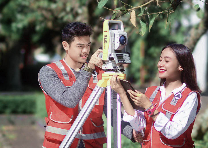
1. Major Analyst of Terrestrial Survey
2. Major Analyst of Hydrography
3. Major Analyst of Photogrammetric
4. Major Analyst of Remote Sensing
5. Major Analyst of Geographic Information Systems
6. Major Analyst of Cartography